-
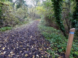
Marked blue trail in Old Wood (Woodland Trust)
-
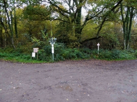
Old Wood bridleway junction
Marked blue trail in Old Wood (Woodland Trust)
Old Wood bridleway junction
Location and coordinates are for the approximate centre of Skellingthorpe Big Wood within this administrative area. Geographic features and populated places may cross administrative borders.