-
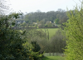
2010 : Valley at Chittoe
-
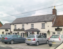
The Westbrook public house
2010 : Valley at Chittoe
The Westbrook public house
Location and coordinates are for the approximate centre of Silverstreet Wood within this administrative area. Geographic features and populated places may cross administrative borders.