-

Flood bank and cattle pasture, north bank, River Weaver
-
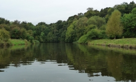
River Weaver, looking downstream
Flood bank and cattle pasture, north bank, River Weaver
River Weaver, looking downstream
Location and coordinates are for the approximate centre of Silver Well within this administrative area. Geographic features and populated places may cross administrative borders.