-
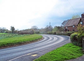
A bend in the B4196 road at Shrawley, Worcs
-
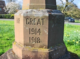
Inscription on reverse of War Memorial by the B4196 road, Shrawley, Worcs
A bend in the B4196 road at Shrawley, Worcs
Inscription on reverse of War Memorial by the B4196 road, Shrawley, Worcs
Location and coordinates are for the approximate centre of Shrawley within this administrative area. Geographic features and populated places may cross administrative borders.