-
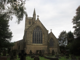
St Thomas' Church, Moorside
-
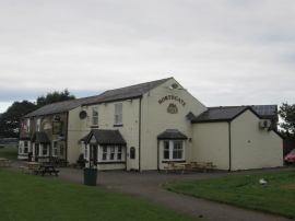
Northgate public house at Sholver
St Thomas' Church, Moorside
Northgate public house at Sholver
Other current and historical names
Location and coordinates are for the approximate centre of Sholver within this administrative area. Geographic features and populated places may cross administrative borders.