-
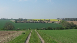
View from Sholden Downs
-
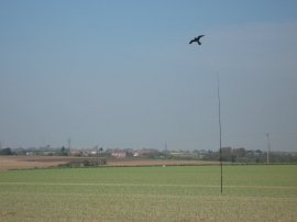
Bird Scarer on Sholden Downs
View from Sholden Downs
Bird Scarer on Sholden Downs
Location and coordinates are for the approximate centre of Sholden Downs within this administrative area. Geographic features and populated places may cross administrative borders.