-
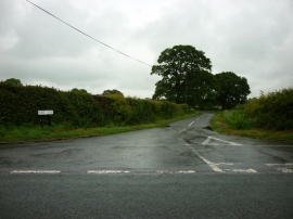
Hobb Lane off the B5013
-
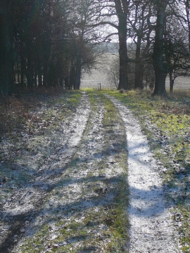
The Staffordshire Way in Bagot's Park
Hobb Lane off the B5013
The Staffordshire Way in Bagot's Park
Location and coordinates are for the approximate centre of Shermon's Wood within this administrative area. Geographic features and populated places may cross administrative borders.