-
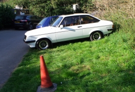
Ford Escort Mark 2, Whitehawk, Brighton
-
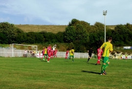
The Enclosed Ground, home of Whitehawk FC
Ford Escort Mark 2, Whitehawk, Brighton
The Enclosed Ground, home of Whitehawk FC
Location and coordinates are for the approximate centre of Sheepcote Valley within this administrative area. Geographic features and populated places may cross administrative borders.