-
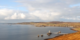
Loch Ewe
-
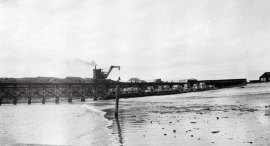
Steam crane on Admiralty Pier at Mellon Charles, 1963
Loch Ewe
Steam crane on Admiralty Pier at Mellon Charles, 1963
Location and coordinates are for the approximate centre of Sgeir Miotaig within this administrative area. Geographic features and populated places may cross administrative borders.