-
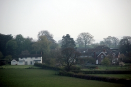
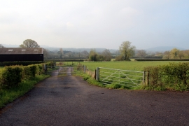
Culverhouse Farm, nr Motcombe, Dorset
-

Elm Hill, footpath
-
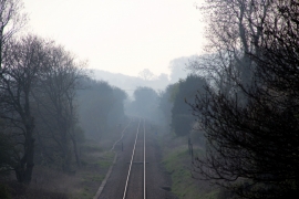
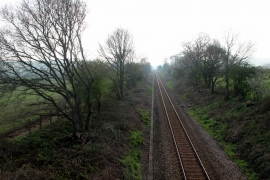
Railway Line, Motcombe, Dorset
-
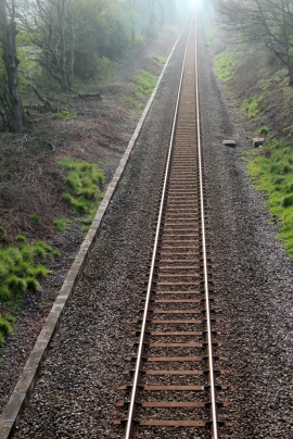
Railway Line, Motcombe, Dorset
-
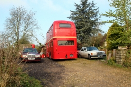
Bus in Garden, Motcombe, Dorset
-

Motcombe, Elm Close
-

School Bus, Motcombe, Dorset
-
Railway Line, Coppleridge, Motcombe, Dorset
-
Motcombe Meadows, Dorset
-

Bridge No. E4/302, Motcombe, Dorset