-
Seaton : Coastal Scenery
-
Seaton : Seaton Beach
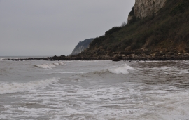
Seaton : Coastal Scenery
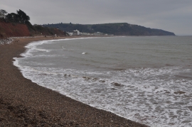
Seaton : Seaton Beach
Location and coordinates are for the approximate centre of Seaton Hole within this administrative area. Geographic features and populated places may cross administrative borders.