-
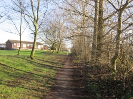
A path from Coal Road to Sherburn Road North
-

Footpath mapped as Green Lane, Whinmoor
A path from Coal Road to Sherburn Road North
Footpath mapped as Green Lane, Whinmoor
Other current and historical names
Location and coordinates are for the approximate centre of Seacroft within this administrative area. Geographic features and populated places may cross administrative borders.