-

Houses on Mount Pleasant, Gildersome
-
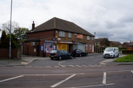
Shops at Ashwood Parade, Gildersome
Houses on Mount Pleasant, Gildersome
Shops at Ashwood Parade, Gildersome
Other current and historical names
Location and coordinates are for the approximate centre of Scott Green within this administrative area. Geographic features and populated places may cross administrative borders.