-

Built in 1998 on the line of the old railway
-
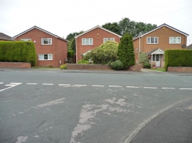
Detached houses on The Approach
Built in 1998 on the line of the old railway
Detached houses on The Approach
Other current and historical names
Location and coordinates are for the approximate centre of Scholes within this administrative area. Geographic features and populated places may cross administrative borders.