-

Mobile rocket launchers at Manorbier Missile Range
-
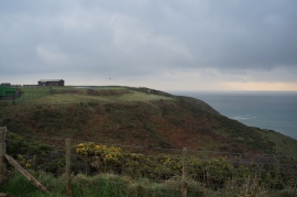
Air Defence Range Manorbier, Pembrokeshire
Mobile rocket launchers at Manorbier Missile Range
Air Defence Range Manorbier, Pembrokeshire
Location and coordinates are for the approximate centre of Sandy Hole within this administrative area. Geographic features and populated places may cross administrative borders.