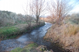
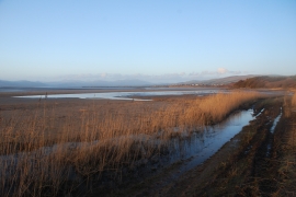
Sandscale Rabbit Warren, Cumbria

« Gazetteer Entry
Upload Photo

Sandscale Rabbit Warren, Cumbria

  • Parish/Community: Askam and Ireleth
  • District/Borough: Barrow-in-Furness
  • County: Cumbria
  • Region: North West
  • Category: Landcover
  • Type: Other Landcover
  • Latitude/Longitude: 54°9'58"N 3°14'33"W
  • Eastings/Northings: 318968, 475199
  • OS Grid: SD189751
  • Mapcode Local: GBR 5NS8.S9
  • Mapcode Global: WH729.5J4Z

Location and coordinates are for the approximate centre of Sandscale Rabbit Warren within this administrative area. Geographic features and populated places may cross administrative borders.

BritishPlaceNames.uk is a Good Stuff website.