-
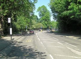
A264 junction with Hall's Hole Road
-
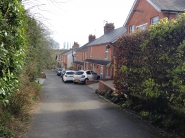
Stafford Road, Tunbridge Wells
A264 junction with Hall's Hole Road
Stafford Road, Tunbridge Wells
Other current and historical names
Location and coordinates are for the approximate centre of Sandown Park within this administrative area. Geographic features and populated places may cross administrative borders.