-

Buildings at Sandsfield Quarry
-
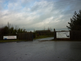
Watersedge Caravan Park, Brandesburton
Buildings at Sandsfield Quarry
Watersedge Caravan Park, Brandesburton
Location and coordinates are for the approximate centre of Sandfield within this administrative area. Geographic features and populated places may cross administrative borders.