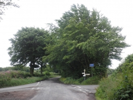
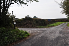
Sanders' Plantation, Somerset

« Gazetteer Entry
Upload Photo

Sanders' Plantation, Somerset

  • Parish/Community: Upton
  • District/Borough: West Somerset
  • County: Somerset
  • Region: South West
  • Category: Landcover
  • Type: Forest or Wood
  • Latitude/Longitude: 51°2'50"N 3°23'17"W
  • Eastings/Northings: 302784, 128485
  • OS Grid: ST027284
  • Mapcode Local: GBR LN.G7FR
  • Mapcode Global: FRA 36SB.XG1

Location and coordinates are for the approximate centre of Sanders' Plantation within this administrative area. Geographic features and populated places may cross administrative borders.

BritishPlaceNames.uk is a Good Stuff website.