-
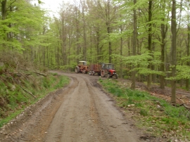
Forestry machinery near Coate Moor
-
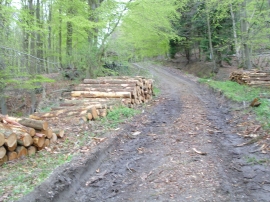
Timber stack near Coate Moor
Forestry machinery near Coate Moor
Timber stack near Coate Moor
Location and coordinates are for the approximate centre of Sandbeds Plantation within this administrative area. Geographic features and populated places may cross administrative borders.