-
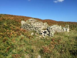
Abandoned dwelling
-
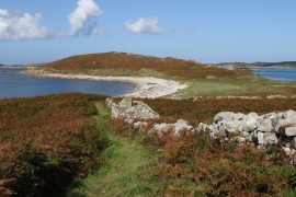
Remnants on Samson
Abandoned dwelling
Remnants on Samson
Location and coordinates are for the approximate centre of Samson within this administrative area. Geographic features and populated places may cross administrative borders.