-
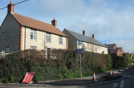
Recent houses, Salway Ash
-
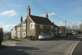
Cottage, Salway Ash
Recent houses, Salway Ash
Cottage, Salway Ash
Location and coordinates are for the approximate centre of Salway Ash within this administrative area. Geographic features and populated places may cross administrative borders.