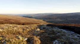
Sally Grain, County Durham

« Gazetteer Entry
Upload Photo

Sally Grain, County Durham

  • Parish/Community: Stanhope
  • Unitary Authority: County Durham
  • Region: North East
  • Category: Water Feature
  • Type: Other Water Feature
  • Latitude/Longitude: 54°45'0"N 2°18'16"W
  • Eastings/Northings: 380500, 539500
  • OS Grid: NY805395
  • Mapcode Local: GBR DFBJ.W0
  • Mapcode Global: WH923.KVVW

Location and coordinates are for the approximate centre of Sally Grain within this administrative area. Geographic features and populated places may cross administrative borders.

BritishPlaceNames.uk is a Good Stuff website.