-
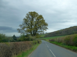
B4385 approaching Sadler's Little Wood
-
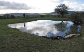
Small pond near the Wintles
B4385 approaching Sadler's Little Wood
Small pond near the Wintles
Location and coordinates are for the approximate centre of Sadler's Big Wood within this administrative area. Geographic features and populated places may cross administrative borders.