-

Saltburn Youth Hostel, Victoria Road in 1984
-
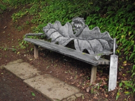
Seat
Saltburn Youth Hostel, Victoria Road in 1984
Seat
Location and coordinates are for the approximate centre of Rushpool Wood within this administrative area. Geographic features and populated places may cross administrative borders.