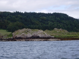
Rubha na Gaoithe, Argyll and Bute

« Gazetteer Entry
Upload Photo

Rubha na Gaoithe, Argyll and Bute

  • Unitary Authority: Argyll and Bute
  • Region: Scotland
  • Category: Geographic Feature
  • Type: Coastal Headland
  • Latitude/Longitude: 56°16'48"N 5°36'0"W
  • Eastings/Northings: 177240, 715580
  • OS Grid: NM772155
  • Mapcode Local: GBR DDK3.MLF
  • Mapcode Global: WH0H2.YDDW

Location and coordinates are for the approximate centre of Rubha na Gaoithe within this administrative area. Geographic features and populated places may cross administrative borders.

BritishPlaceNames.uk is a Good Stuff website.