-
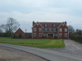
Broughton Barns Cottage
-
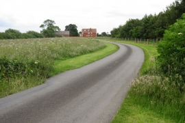
Lane past Broughton Barns cottage
Broughton Barns Cottage
Lane past Broughton Barns cottage
Location and coordinates are for the approximate centre of Roundhill Spinney within this administrative area. Geographic features and populated places may cross administrative borders.