-
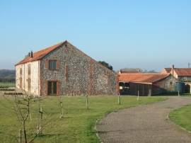
Large barn conversion, Shereford, Norfolk
-
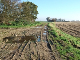
Numerous tyre marks on a muddy Norfolk track
Large barn conversion, Shereford, Norfolk
Numerous tyre marks on a muddy Norfolk track
Location and coordinates are for the approximate centre of Round Plantation within this administrative area. Geographic features and populated places may cross administrative borders.