-

Young common toad
-
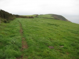
Coast path north of Porthallow
Young common toad
Coast path north of Porthallow
Other current and historical names
Location and coordinates are for the approximate centre of Roskorwell within this administrative area. Geographic features and populated places may cross administrative borders.