-

Rosemullion Head from Trelawne
-
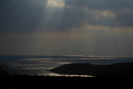
Shafts of sunlight over Falmouth Bay
Rosemullion Head from Trelawne
Shafts of sunlight over Falmouth Bay
Location and coordinates are for the approximate centre of Rosemullion Head within this administrative area. Geographic features and populated places may cross administrative borders.