-
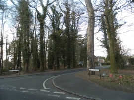
Knights Templar Way at the junction of Daws Hill Lane
-

Marlow Hill into the town centre
Knights Templar Way at the junction of Daws Hill Lane
Marlow Hill into the town centre
Location and coordinates are for the approximate centre of Rookery Wood within this administrative area. Geographic features and populated places may cross administrative borders.