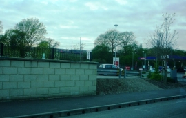
Roebuck Wood, Hertfordshire

« Gazetteer Entry
Upload Photo

Roebuck Wood, Hertfordshire

  • Built-Up Area: Stevenage
  • Parish/Community: Stevenage, unparished area
  • District/Borough: Stevenage
  • County: Hertfordshire
  • Region: Eastern
  • Category: Landcover
  • Type: Forest or Wood
  • Latitude/Longitude: 51°53'13"N 0°11'38"W
  • Eastings/Northings: 524382, 222493
  • OS Grid: TL243224
  • Mapcode Local: GBR J82.RQ9
  • Mapcode Global: VHGP0.LT7Q

Location and coordinates are for the approximate centre of Roebuck Wood within this administrative area. Geographic features and populated places may cross administrative borders.

BritishPlaceNames.uk is a Good Stuff website.