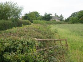
Rodge Brook, Isle of Wight

« Gazetteer Entry
Upload Photo

Rodge Brook, Isle of Wight

  • Parish/Community: Calbourne
  • Unitary Authority: Isle of Wight
  • Region: South East
  • Category: Water Feature
  • Type: Other Water Feature
  • Latitude/Longitude: 50°42'44"N 1°21'24"W
  • Eastings/Northings: 445500, 90500
  • OS Grid: SZ455905
  • Mapcode Local: GBR 8B7.CRC
  • Mapcode Global: FRA 8716.95Y

Location and coordinates are for the approximate centre of Rodge Brook within this administrative area. Geographic features and populated places may cross administrative borders.

BritishPlaceNames.uk is a Good Stuff website.