-
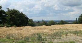
2010 : An ex- wheatfield, straw waiting to be gathered in
-
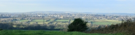
2009 : Pasture north west from Shepherd's Lane
2010 : An ex- wheatfield, straw waiting to be gathered in
2009 : Pasture north west from Shepherd's Lane
Location and coordinates are for the approximate centre of Roddenbury Hill within this administrative area. Geographic features and populated places may cross administrative borders.