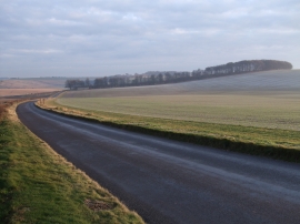
Rockley Down, East Dorset

« Gazetteer Entry
Upload Photo

Rockley Down, East Dorset

  • Parish/Community: Ogbourne St. Andrew
  • Unitary Authority: East Dorset
  • Region: South West
  • Category: Landcover
  • Type: Other Landcover
  • Latitude/Longitude: 51°27'32"N 1°47'5"W
  • Eastings/Northings: 415036, 173353
  • OS Grid: SU150733
  • Mapcode Local: GBR 4WL.KHT
  • Mapcode Global: VHB40.0LPD

Location and coordinates are for the approximate centre of Rockley Down within this administrative area. Geographic features and populated places may cross administrative borders.

BritishPlaceNames.uk is a Good Stuff website.