-
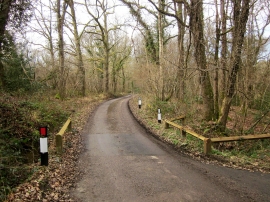
Lane near Coltsfoot Farm
-
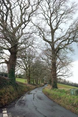
Two Moors Way from Binneford Cross
Lane near Coltsfoot Farm
Two Moors Way from Binneford Cross
Location and coordinates are for the approximate centre of Road Down Copse within this administrative area. Geographic features and populated places may cross administrative borders.