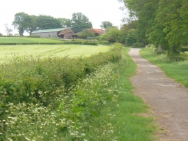
Rishet's Copse, Surrey

« Gazetteer Entry
Upload Photo

Rishet's Copse, Surrey

  • Parish/Community: Abinger
  • District/Borough: Mole Valley
  • County: Surrey
  • Region: South East
  • Category: Landcover
  • Type: Forest or Wood
  • Latitude/Longitude: 51°9'25"N 0°23'14"W
  • Eastings/Northings: 512882, 141009
  • OS Grid: TQ128410
  • Mapcode Local: GBR HHD.BXH
  • Mapcode Global: VHFW4.75NQ

Location and coordinates are for the approximate centre of Rishet's Copse within this administrative area. Geographic features and populated places may cross administrative borders.

BritishPlaceNames.uk is a Good Stuff website.