-
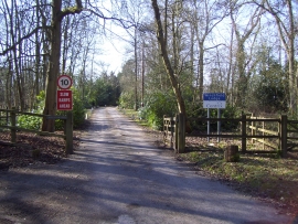
Entrance drive to Winchfield Lodge
-
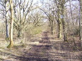
View of private woodland looking towards the M3
Entrance drive to Winchfield Lodge
View of private woodland looking towards the M3
Location and coordinates are for the approximate centre of Ringwood Copse within this administrative area. Geographic features and populated places may cross administrative borders.