-
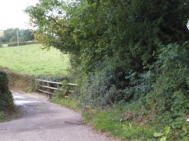
Ford on footpath and farm track near Ball Lane
-
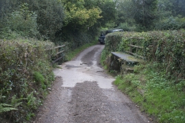
Ford at Farway
Ford on footpath and farm track near Ball Lane
Ford at Farway
Location and coordinates are for the approximate centre of Rex Plot Coppice within this administrative area. Geographic features and populated places may cross administrative borders.