-
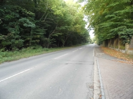
Nightingales Lane, Chalfont St Giles
-
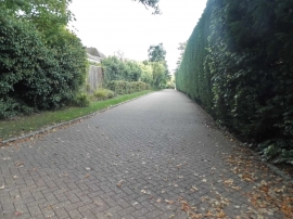
Barrington Park Gardens, Chalfont St Giles
Nightingales Lane, Chalfont St Giles
Barrington Park Gardens, Chalfont St Giles
Location and coordinates are for the approximate centre of Reservoir Plantation within this administrative area. Geographic features and populated places may cross administrative borders.