-
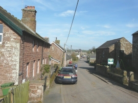
Looking along the main street in Renwick
-
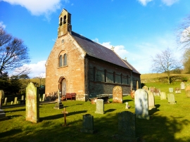
All Saints Church, Renwick, Kirkoswald, Cumbria
Looking along the main street in Renwick
All Saints Church, Renwick, Kirkoswald, Cumbria
Location and coordinates are for the approximate centre of Renwick within this administrative area. Geographic features and populated places may cross administrative borders.