-
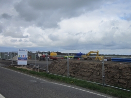
What looks like a new water main being installed
-
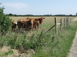
Cows near Gillwood's Grange
What looks like a new water main being installed
Cows near Gillwood's Grange
Location and coordinates are for the approximate centre of Reedings Plantation within this administrative area. Geographic features and populated places may cross administrative borders.