-
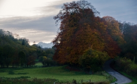
Piddletrenthide: Tokenshills Coppice
-
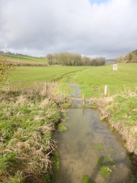
Piddletrenthide, brook
Piddletrenthide: Tokenshills Coppice
Piddletrenthide, brook
Location and coordinates are for the approximate centre of Redlands Coppice within this administrative area. Geographic features and populated places may cross administrative borders.