-
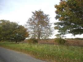
Ashwell Road towards Guilden Morden
-
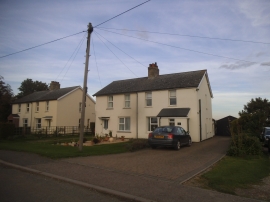
Houses on Ashwell Road, Guilden Morden
Ashwell Road towards Guilden Morden
Houses on Ashwell Road, Guilden Morden
Location and coordinates are for the approximate centre of Red Barns within this administrative area. Geographic features and populated places may cross administrative borders.