-
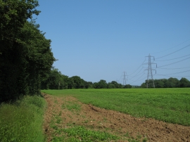
Arable land and pylons near Parkgate Farm, Gestingthorpe
-
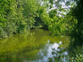
Pond near Parkgate Farm, Gestingthorpe
Arable land and pylons near Parkgate Farm, Gestingthorpe
Pond near Parkgate Farm, Gestingthorpe
Location and coordinates are for the approximate centre of Ramacre Wood within this administrative area. Geographic features and populated places may cross administrative borders.