-

Churnet Valley trail
-
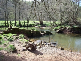
Broken weir on the Churnet
Churnet Valley trail
Broken weir on the Churnet
Other current and historical names
Location and coordinates are for the approximate centre of Rakes Dale within this administrative area. Geographic features and populated places may cross administrative borders.