-
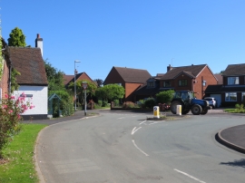
The junction of Wade Lane with Uttoxeter Road in Rake End
-
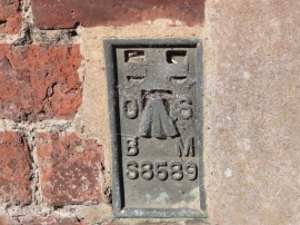
Ordnance Survey Flush Bracket S8589
The junction of Wade Lane with Uttoxeter Road in Rake End
Ordnance Survey Flush Bracket S8589
Location and coordinates are for the approximate centre of Rake End within this administrative area. Geographic features and populated places may cross administrative borders.