-
The A32, Soberton
-

Wickham Road, Soberton
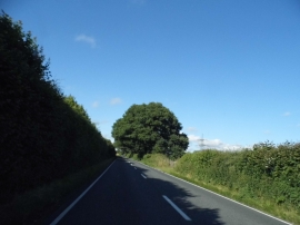
The A32, Soberton
Wickham Road, Soberton
Location and coordinates are for the approximate centre of Ragnals Copse within this administrative area. Geographic features and populated places may cross administrative borders.