-
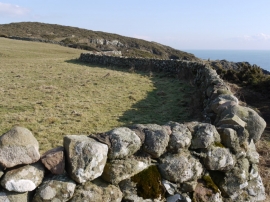
Wall east of Gutcher's Isle
-
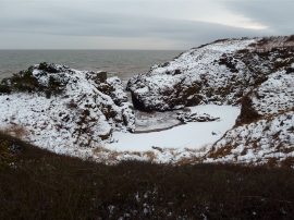
Bogle Hole un snow, Solway coast
Wall east of Gutcher's Isle
Bogle Hole un snow, Solway coast
Location and coordinates are for the approximate centre of Rae's Port within this administrative area. Geographic features and populated places may cross administrative borders.