-
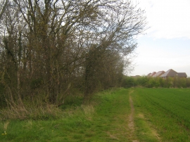
Footpath beside Rabbit Shaw
-
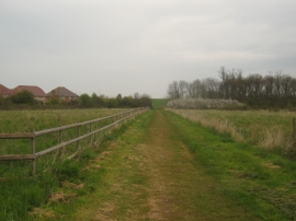
Footpath through Mead Meadow
Footpath beside Rabbit Shaw
Footpath through Mead Meadow
Location and coordinates are for the approximate centre of Rabbit Shaw within this administrative area. Geographic features and populated places may cross administrative borders.